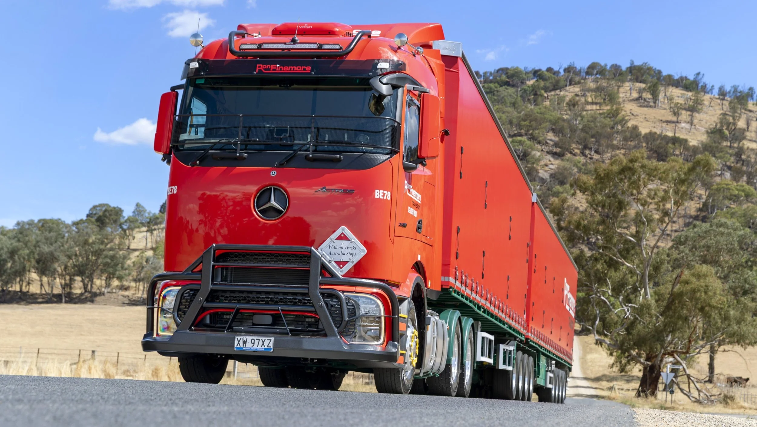
Truckin Around OZ - From Hobart To Port Arthur

The 100km drive from Hobart to Port Arthur is one of the most interesting in Australia and hundreds of trucks can be seen along it on most days.
These trucks of course, supply businesses which in normal times cater for numerous tourists. This has not been the case during closures after bushfires, and particularly since March when the Coronavirus Pandemic hit. But things are slowly recovering.
To get to Port Arthur you travel along the Tasman and Arthur Highways which our truckies share with millions of tourists annually. These include many buses and cars which carry tourists to the numerous attractions.
Statistics reveal that 300,000 tourist vehicles a year travel along the route. Of these, it is estimated that about 15% are caravans, motor homes or buses.
The region has a chilling past which includes a mass murder, a bridge collapse - which resulted in vehicles falling into a river and bush fires which destroyed much of a town. On a lighter note the area has the world’s smallest canal.
I have driven along the route many times and left Hobart crossing the Tasman Bridge which spans the mighty Derwent River. As you negotiate the huge bridge which is busy with traffic it is hard not to think of a dark point of its history.

Approaching the Tasman Bridge, Hobart
At 9:27pm on 5th January 1975, the bulk ore carrying boat, Lake Illawarra struck the Tasman Bridge, taking out two pylons and 127 metres of bridge decking. Five motorists were killed when they drove into the gap, falling into the river. Seven boat crew members also died when the bridge section fell onto the ship's deck.
After the collapse, motorists - including many trucks - had to drive up-river to the Bridgewater Bridge, adding an extra hour to the trip. The rebuilt Tasman Bridge did not reopen until two-and-a-half years after the accident.
Since then all traffic across the bridge is stopped while vessels are passing under, and all vessels are now piloted with larger vessels having tugs escorting them. During peak hour traffic tow-trucks wait at each end of the bridge to clear vehicles swiftly in case of a traffic accident. There are speed cameras on the bridge which add a juicy amount of consolidated revenue to State coffers each year.
The Tasman Highway finishes at Sorell which is about 20km from Hobart. Sorell is a thriving town through which many trucks pass daily. Just before Sorell you cross a narrow Isthmus and have to be alert for water which sprays from the sea.

The Isthmus near Sorell
Sorell is located on the Tasman Highway at the junction with the Arthur Highway. As you leave Sorell it becomes the Arthur Highway and the next small town is Copping. At the roadhouse there, the attendant told me that lots of truckies stop daily with many fuelling up after hours at one of the card bowsers.
Up the highway at the halfway point (around 45km from Hobart) is the town of Dunalley, where many houses were destroyed during bushfires which swept the area in January of 2013. The fires destroying 119 of the town’s buildings, including the local school and police station.
The 2013 blaze started at Forcett on January 3rd reached Dunalley at 3.25pm a day later, where it jumped the canal and continued down the Tasman Peninsula. When I passed through Dunalley more recently, the houses had been rebuilt and the economy was strong.

Bridge over the world’s shortest canal
Dunalley is well known for the Denison Canal, which at 400m long, is reported to be the shortest in the world. The day I passed though Dunalley the road was closed to allow the bridge to open so a yacht could pass through the canal. Trucks were amongst the vehicles lined up waiting for the road to open.
The canal is controlled by the Hobart Port Authority and used as required by appointment with the Superintendent, who lives nearby. It cuts many hours off the sea trip for vessels and is used each January by yachts returning home after the Sydney to Hobart race.

The Denison Canal
Just up the highway is the Murdunna Store and Roadhouse where lots of trucks stop.
Further along is Eaglehawk Neck. If you take a short detour here you will come to Doo Town where nearly all of the houses have a ‘doo’ in their title. Names such as This’ll Doo, Doo Drop In, Gunna Doo, Doo Us, Rum Doo, Doo-g House, That’ll Doo, Zana-doo, Doo Nix, Doo Nothing, and many more adorn the homes in this quaint village.

Passing through Eaglehawk Neck
The ‘Doo’ names commenced in the 1930s when some people from Hobart set up beach huts there and one put a Doo Drop Inn name on his home. Soon other people with beach huts followed suit and by the 1950s every house there had a Doo name. It is well worth a visit.
PORT ARTHUR.
Port Arthur is a former penal colony from convict days and in 1996 was the tragic scene where Martin Bryant murdered 35 people in the worst such event by a single gunman in our history.
Bryant is serving a life sentence with no eligibility for parole in Hobart’s Risdon Jail for murdering the innocent people and injuring dozens more. The violent crime occurred at the Broad Arrow Café in the Port Arthur Historical Site. The shell of that building is now incorporated in a Memorial Garden which is now a place of tranquillity and beauty.

Port Arthur
Port Arthur Penal station was established in 1830 as a timber getting camp and three years later became a punishment area for repeat offenders from all Australian colonies and from the Mother Land.
By 1840, more than 2,000 convicts, soldiers and staff lived there and it was to become a major industrial centre producing ships and shoes, clothing, belts and vegetables.
Discipline was strict with many convicts placed in chains and in small cells, considered inhumane by today’s standards. Transportation of convicts to Van Diemen’s Land ended in 1853, but many of the long-serving convicts became invalids working in agriculture. The penal settlement closed in 1877 and many buildings were pulled down or gutted by fire.
From Port Arthur it is 10km along an often winding road to the seaside hamlet of Nubeena (Aboriginal for crayfish) where the biggest trucking company is Wade’s Transport, which has its depot on the side of a hill with great views.
Early in the millennium, the Arthur Highway was considered by many truckies to be one of the most dangerous in the Apple Isle. After a $7 million upgrade was completed in 2004, things have improved - although care is still required.
On the Arthur Highway
Section widening and sealing of shoulders was done between Sorell and Murdunna and particularly between Dunalley and Sorell. At Dunalley, in the park next to the canal, is a large eagle sculpture to symbolize the upgrade. The Wedge-Tailed Eagle sculpture was the work of sculptor, Stephen Walker and was chosen as a symbol and strength of the community.
More Blog Posts You Will Love


More From Truckin Around Oz


Got something to say? Say it here!
truckinwithkermie.com is for YOU and about YOU. We’d love to hear your stories. There are a number of ways to get in touch with us:
kermie@truckinwithkermie.com
(+61) 0418 139 415
More From The Blog